The Best Hikes Along The South West Edge

The South West Edge is nature’s playground, so if you’re looking to break up your road trip with some amazing hikes, it’s time to lace up your boots!

Cape to Cape Track, Margaret River

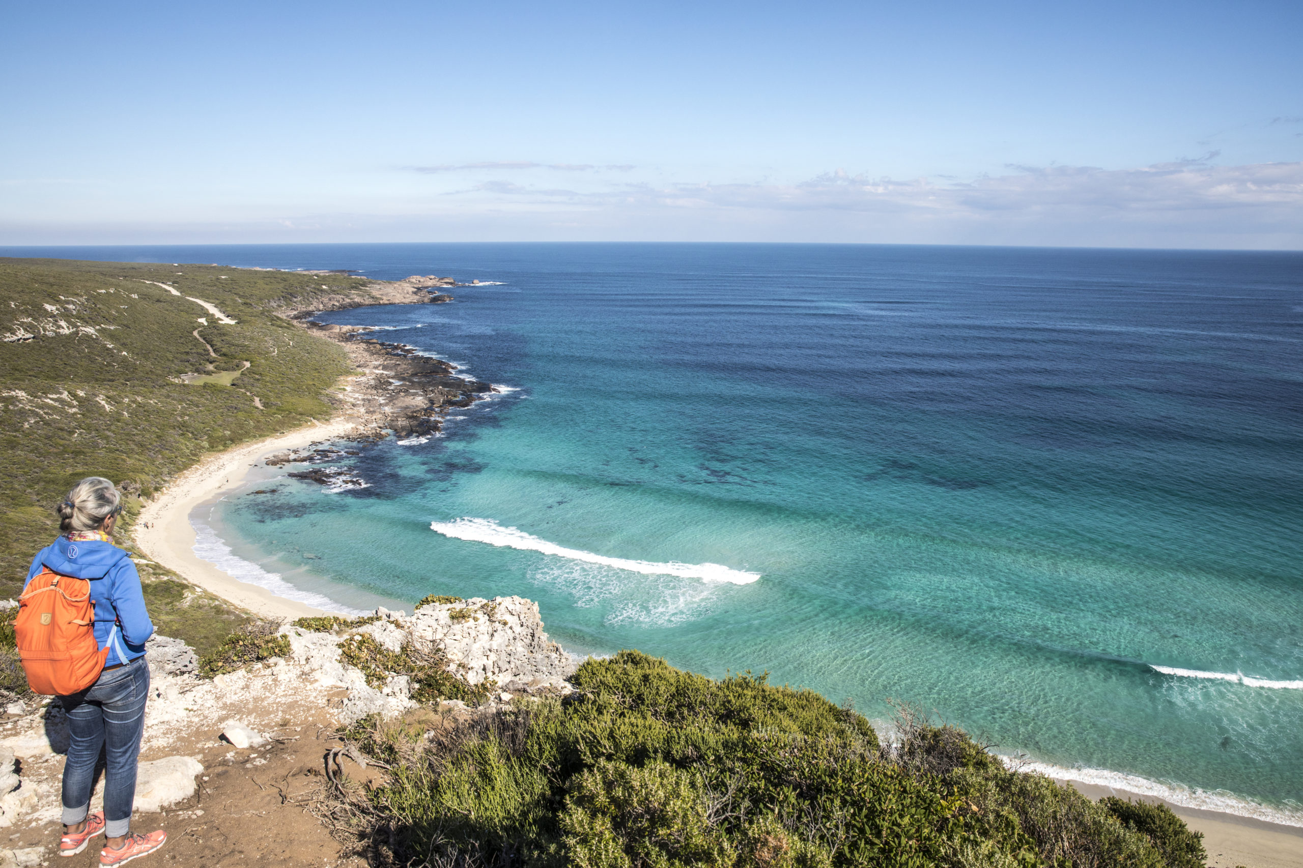
This is one of Australia’s longest and most famous tracks. The 140km track traverses along the coastline from Cape Naturaliste in Dunsborough to Cape Leeuwin in Augusta. The walk takes in amazing views of sea and landscapes including wildflowers in spring and the stunning Indian Ocean. To do the whole track takes 5-7 days, but you can dip in and out and just walk sections at your leisure. Easily accessible sections can be found at Cape Naturaliste Lighthouse, Yallingup, Smith’s Beach, Injidup and Boranup Forest.
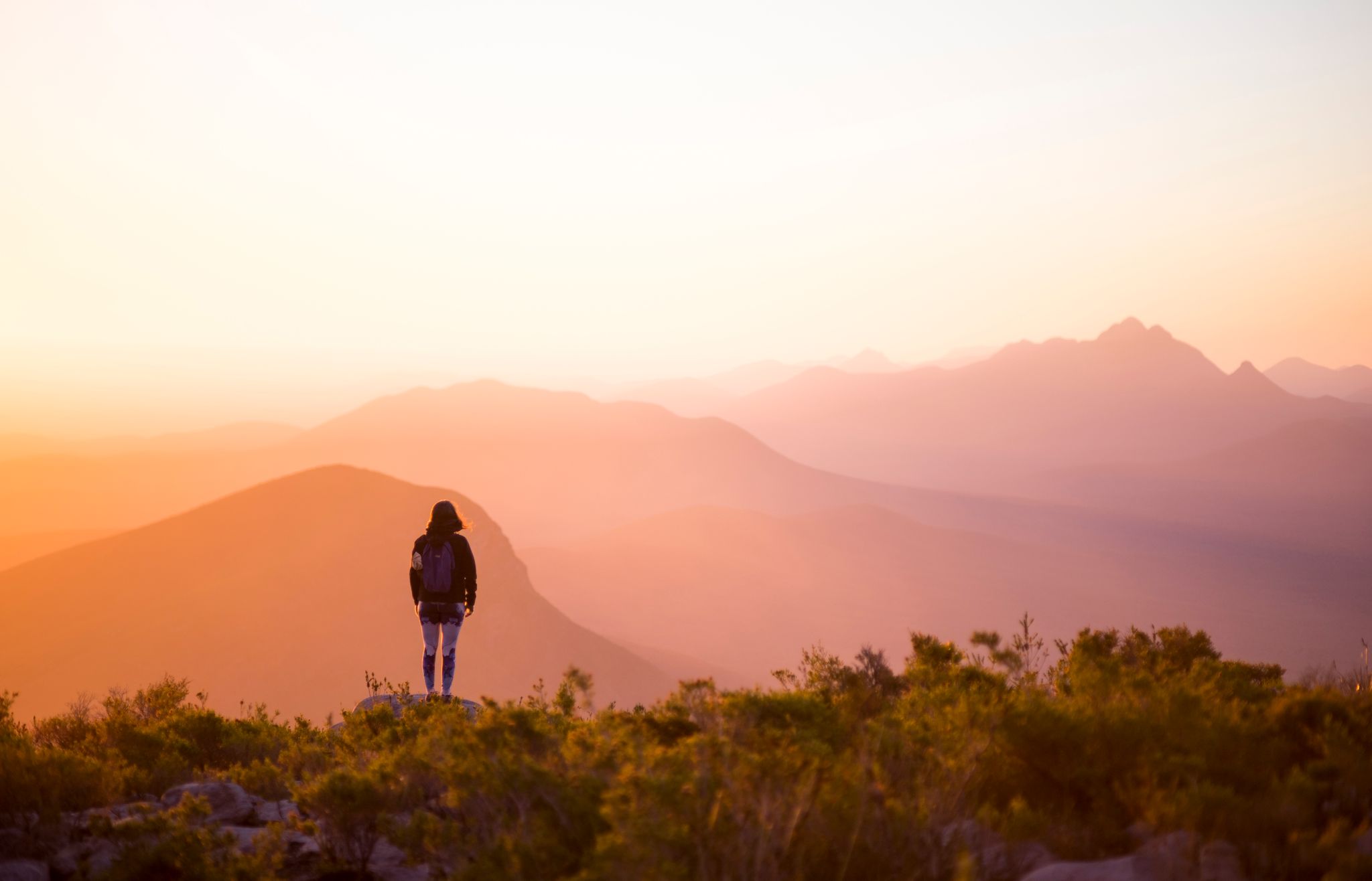
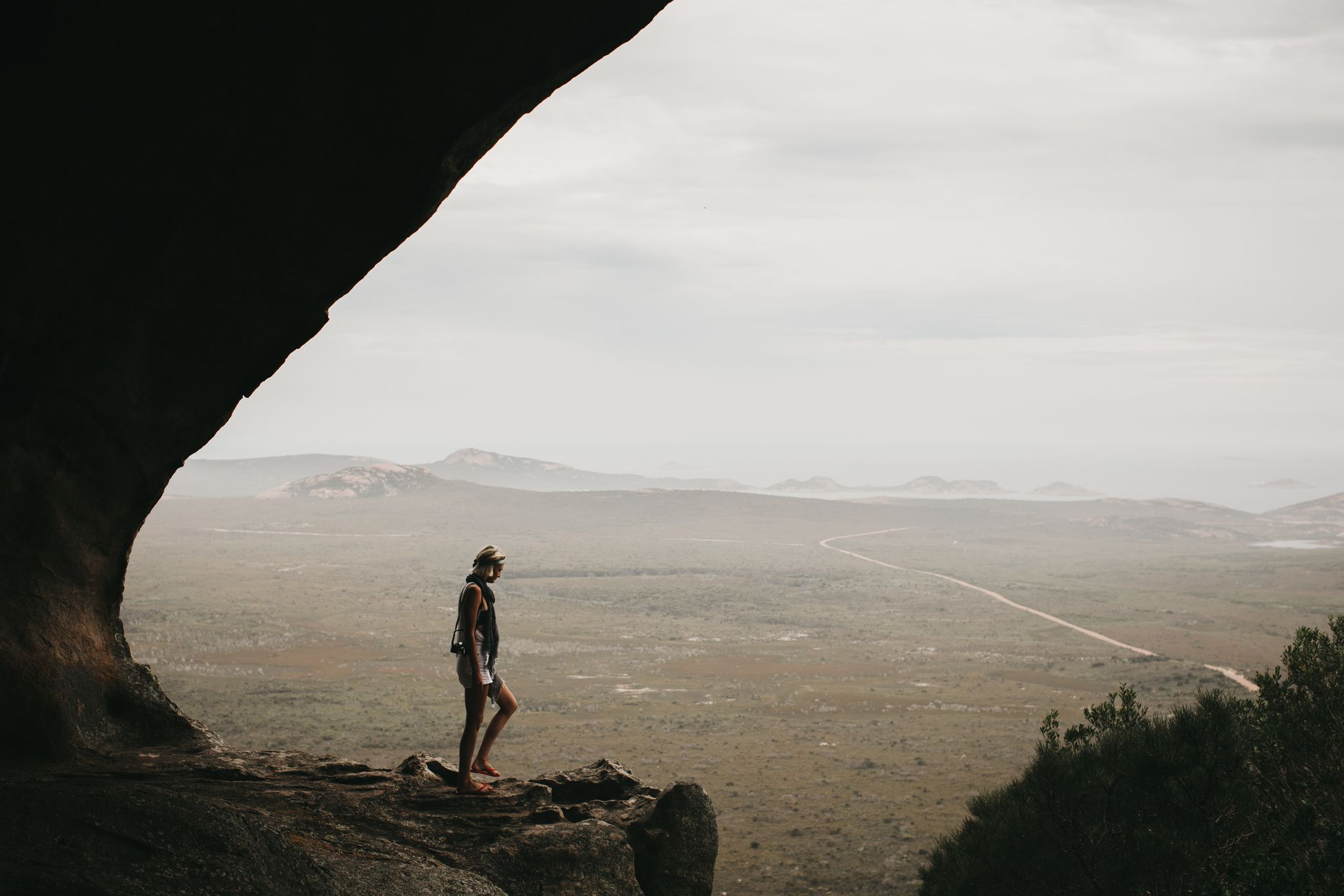
Bald Head, Albany

Located in the spectacular Torndirrup National Park in Albany, the Bald Head walk trail is a challenging 12.5km return trip into the Flinders Peninsula. Along the way you will see stunning views of King George Sound, hear the chorus of the waves crashing against the granite cliffs and smell the unforgettable scent of the peppermint trees that line the trail. This trail does end with a short, steep climb, but the views from the summit are worth the scramble.

Landscape image of hiker standing on cliff looking at blue ocean to show hikes along The South West Edge
Contos Beach along the Cape to Cape Track, Margaret River Region. Image by Martine Perret.

"Hear the chorus of the waves crashing against the granite cliffs and smell the unforgettable scent of the peppermint trees when you hike en route along The Edge."

Granite Skywalk, Porongurup

The Granite Skywalk is a firm favourite with hikers and photographers alike. The giant suspended walkway on the huge granite outcrop of Castle Rock in the Porongurup Range is incredibly impressive and results in some epic views. The 2km walk from the Castle Rock picnic area passes through jarrah, marri and karri forest and by Balancing Rock to reach the base of Castle Rock and the lower lookout. If you want to reach the Skywalk, you need to scramble through and over rocks, and finally climbing a 6-metre ladder. Once on the Skywalk, you can enjoy spectacular views across the National Park, to the farmland and on a clear day, the Southern Ocean.

Bluff Knoll, Stirling Ranges

At 1098 above sea level, Bluff Knoll is the highest and most spectacular peak in the South West. The 6.8km trail starts from the interpretive shelter – but before you leave, don’t forget to check you’ve got a jacket or sweater! No matter how hot you may feel in the car park before beginning the climb, the mountain mists, wind chill and rain can come on suddenly towards the summit. Bluff Knoll is a favourite in Winter, as it is one of the few places in WA to get any snowfall.

East Mount Barren, Fitzgerald River National Park

The rugged and beautiful Fitzgerald River National Park is home to a number of walking trails, but our favourite is the 2.6km hike up East Mount Barren. Situated some 15km from Hopetoun, East Mount Barren is a rugged quartzite peak perched on the edge of the Southern Ocean that offers magnificent views of the park. Start at the carpark on the western side and begin the steep ascent to the peak. This one is a hard hike, but it’s worth it for the views! On a clear day you can see most of the peaks of the Barrens Range stretching west along the coast and the Doubtful Islands some 65 km to the south-west near Bremer Bay.

Cape Le Grand, Esperance

Cape Le Grand National Park is home to some of the most picturesque walk trails in the area. The Cape Le Grand coastal walk is spectacular, with breath-taking views of the beaches from multiple vantage points. The entire coastal walk covers 17kms, from Rossiter Bay to Cape Le Grand Beach, with several challenging sections of trail. Walkers can do smaller parts of the trail, with access points at Rossiter Bay, Lucky Bay, Thistle Cove, Hellfire Bay and Cape le Grand beach. Check the signage in the area for walk distances for each section.

Bibbulmun Track, Perth Hills

As you arrive back into Perth after your adventure along The Edge, take one last hike along part of this legendary track. The Bibbulmun Track stretches 900km all the way back down to Albany, but you can do a spectacular section when travelling back through the Perth Hills, starting at Kalamunda and finishing at the historic Mundaring Weir. This 16km track passes through a mix of jarrah, marri and wandoo forests. The views from Helena, Waalegh and Beraking campsites are outstanding. Sit high up on Abyssinia Rock or Mount Vincent, watch the sun set and reflect on what’s been an amazing adventure!

Bluff Knoll, Stirling Range National Park. Image by Hunting for Paradise: @huntingforparadise (IG)

Newsletter

Get the coolest itineraries and stories!

Our site uses cookies

This is to ensure you get the best experience on our website.